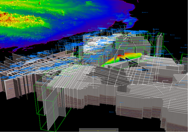
SeisEarth is an integrated, multi-survey, seismic interpretation and visualization system designed to perform all interpretation tasks, including well calibration, structural, stratigraphic, quantitative and volume interpretation. The interactive, scalable software offers effective productivity tools (3D auto-tracking, 3D volume rendering, fault auto-picking) and advanced technologies, including Machine Learning-based Rock Type Classification.